
Getting to college
We’re here to help you get to college using the various transport options available, whether that’s by bus using the West Notts College Travel Scheme, taking the train, car, bike or on foot. So whether you’re travelling to college to attend a class or need to get to your work placement, this page provides all the information you need.
Whichever transport option you choose it’s important to plan ahead and know what to expect so you arrive safely and on time.
Plan your journey now with Google Maps
- Adult Learning Centre
- Derby Road campus
- Gene Haas Centre for Advanced Manufacturing
- Mansfield Ambition Exchange
- Mansfield and Ashfield Sixth Form College
- Mansfield Education Hub
- Station Park
- The Old Brewery
- Travelling by bus
West Notts College benefits from two main bus Services; Stagecoach and Trentbarton which both cover Mansfield, Ashfield, the wider Nottinghamshire area and large parts of Derbyshire.
Travelling by bus is generally the cheapest option for getting around (especially when using the West Notts College Travel Scheme) and you’ll find all the different services and routes online.
- Stagecoach Bus Route Journey Planner
- Stagecoach Bus Times and Timetables
- Trentbarton journey planner
- West Notts College Travel Scheme route map (PDF, 507kb)
- Travelling by train
Our campuses have great connections with the Robin Hood Line which runs regular trains from Nottingham to Worksop (via Mansfield), making train travel easier than you think.
If you’re planning on regularly using the train, a Railcard may save you up to a third off fares, and you should also take a look at weekly, monthly or annual season passes to save even more money.
Nearest train stations to our campuses (Google Maps)
- Adult Learning Centre – Mansfield (0.3 miles)
- Derby Road Campus – Mansfield (1.5 miles)
- Gene Haas Centre for Advanced Manufacturing – Sutton Parkway (0.2 miles)
- Mansfield Ambition Exchange – Mansfield (0.6 miles)
- Mansfield and Ashfield Sixth Form College – Mansfield (0.6 miles)
- Mansfield Education Hub – Mansfield (0.2 miles)
- Station Park – Sutton Parkway (0.2 miles)
- The Old Brewery - Mansfield (0.4 miles)
Useful links
- Travelling by bike
If you live within five miles of your campus, you could cycle to college in around 30 minutes.
Most of our campuses have secure bike storage areas but please note: the college does not accept responsibility for damage or theft of any bicycles whilst left on college premises.
Useful links
- Travelling on foot
All our campuses are accessible on foot, so if you live within a two-mile distance of your campus, you could walk there in around 30-40 minutes – helping you to keep fit and healthy too.
Benefits of walking:
- You can get outside and enjoy your surroundings
- It can help with energy levels
- It can aid easier sleep
- It can help increase self-confidence
- It can help with tension, stress and anxiety.
- Travelling by car
While we would encourage you to choose more environmentally friendly forms of transport, all our campuses have free on-site parking, although spaces do fill up quickly!*
Don’t forget, car sharing with friends/colleagues might be an ideal way to reduce the costs of fuel too.
*The Mansfield and Ashfield Sixth Form College and Mansfield Ambition Exchange campuses have limited parking onsite.
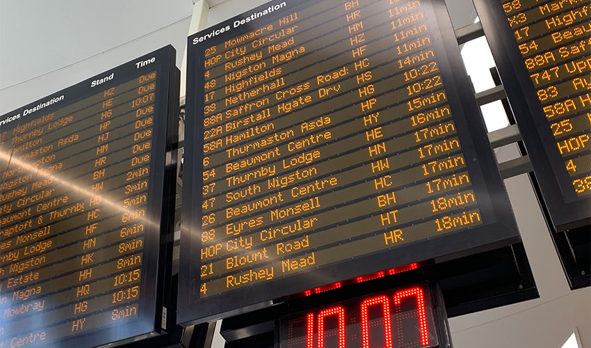
Stay on track with your journey to college. This page provides live bus timetable updates, including delays, cancellations, and service changes, so you can plan your travel with confidence and get to campus on time.

We’ve teamed up with local bus operators to bring you an award-winning travel scheme that’s flexible, affordable, and easy to use.